Kudremukh
General Information
District: Chickmagalur, State: Karnataka, India
Area: 0
Languages Spoken: Kannada, Hindi, and English.
Long Distance Code: +91-8269
Importance:
Best Time to Visit: October to May
Description
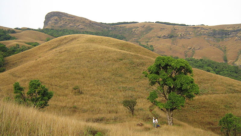
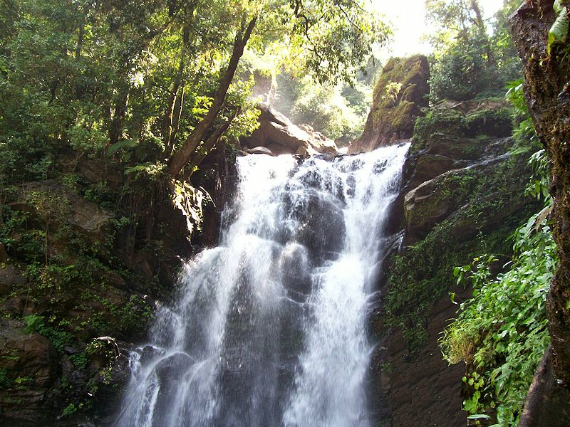
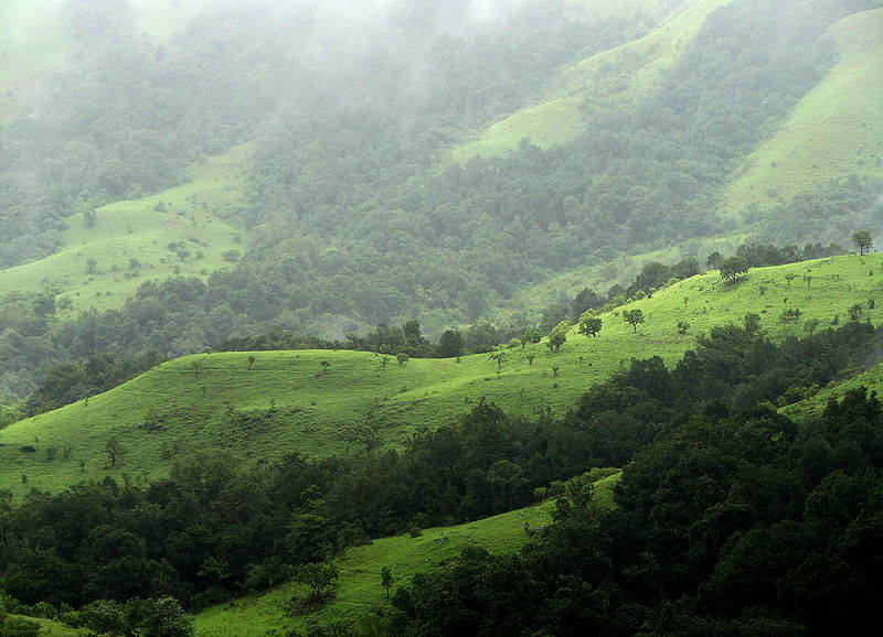
95 Km from southwest of Chikmagalur town is Kudremukh (horse face) range, so named because of the unique shape of the Kudremukh peak. This secluded place is yet to be discovered and thus offers a wonderful ambience without any hustle bustle of tourists. A trekker's delight, a traveller's paradise, Kudremukh enjoys a pleasant climate throughout the year. No wonder its is known as the Kashmir of south minus the snow!!<br />Situated 1894.3 m above sea level, Kudremukh is rich in iron ore deposits. Lush green forest interspersed with rivers, grassy slopes, captivating cascades and rare orchids, Kudremukh also has origin of three rivers of the south, namely, the Tunga, The Bhadra and the Netravati Rivers. <br />Location
95 Km South-West Of Chikmagalur, Karnataka
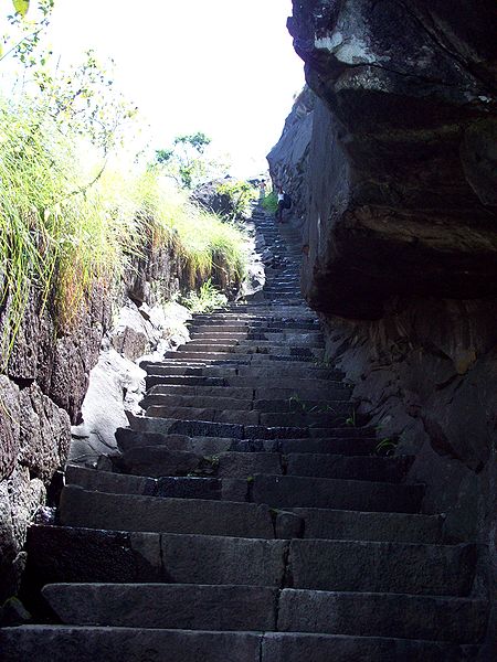
 Jamalabad is famous for its fort built by Tipu Sultan, the Tiger of Mysore in 1794. The fort was renamed after his mother Jamalbee. The village, which lies at the foot of a high rock, forms a part of the Kudremukh range of hills near Belthangadi.\r\nThe fort was formerly known by the name, 'Narasimha Hangadi'. The village is at the fort of a high rock forming the business of a long span from Kudremukh.\r\nThe British captured the fort, in 1799 AD. The ruin of the rock on which the fort stands is inaccessible except by one narrow path, only between Feb and May.\r\nNearby is Gangamoola in the Samse taluk of Chikamaglur district, surrounded by thick forests. Three important rivers, the Tunga, Bhadra and Nethravathi have origin here.\r\n